Welcome
Serving the Owensboro, Daviess County Kentucky area with over 25 years experience in the profession, Kevin can provide you with an accurate, cost effective solution to your land surveying needs. Kevin specializes in boundary division/consolidations, Elevation Certificates, LOMA applications, Precision GPS data collection and GIS mapping.

Property Divisions & Consolidations
From retracement surveys, setback and easement line locations to property divsion/consolidations, I can provide you with an accurate cost effective solution to your boundary surveying needs.
Elevation Certificates
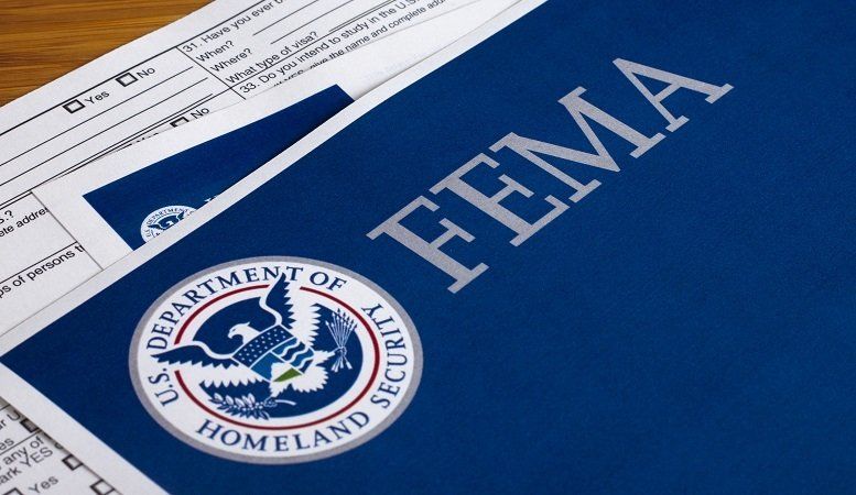
When purchasing a new home, your mortgage lender may require that you purchase flood insurance if you are in a special flood hazard area. An Elevation Certificate can possibly lower your premiums or even qualify your home to be removed from the special flood hazard area. Contact me today to see if I can help you in this area.

GIS Mapping
GIS mapping is a valuable tool for utility companys and other governmental agencies to keep track of their infrastructure. From precision GPS data collection to GIS base map development, I can provide a GIS solution for many projects.
CONTACT TODAY
KEVIN M. SIMMONS, PLS
CALL/TEXT: 270-313-1962
EMAIL: KYSURVEYOR3635@GMAIL.COM